F/13.0, 1/640, ISO 250.
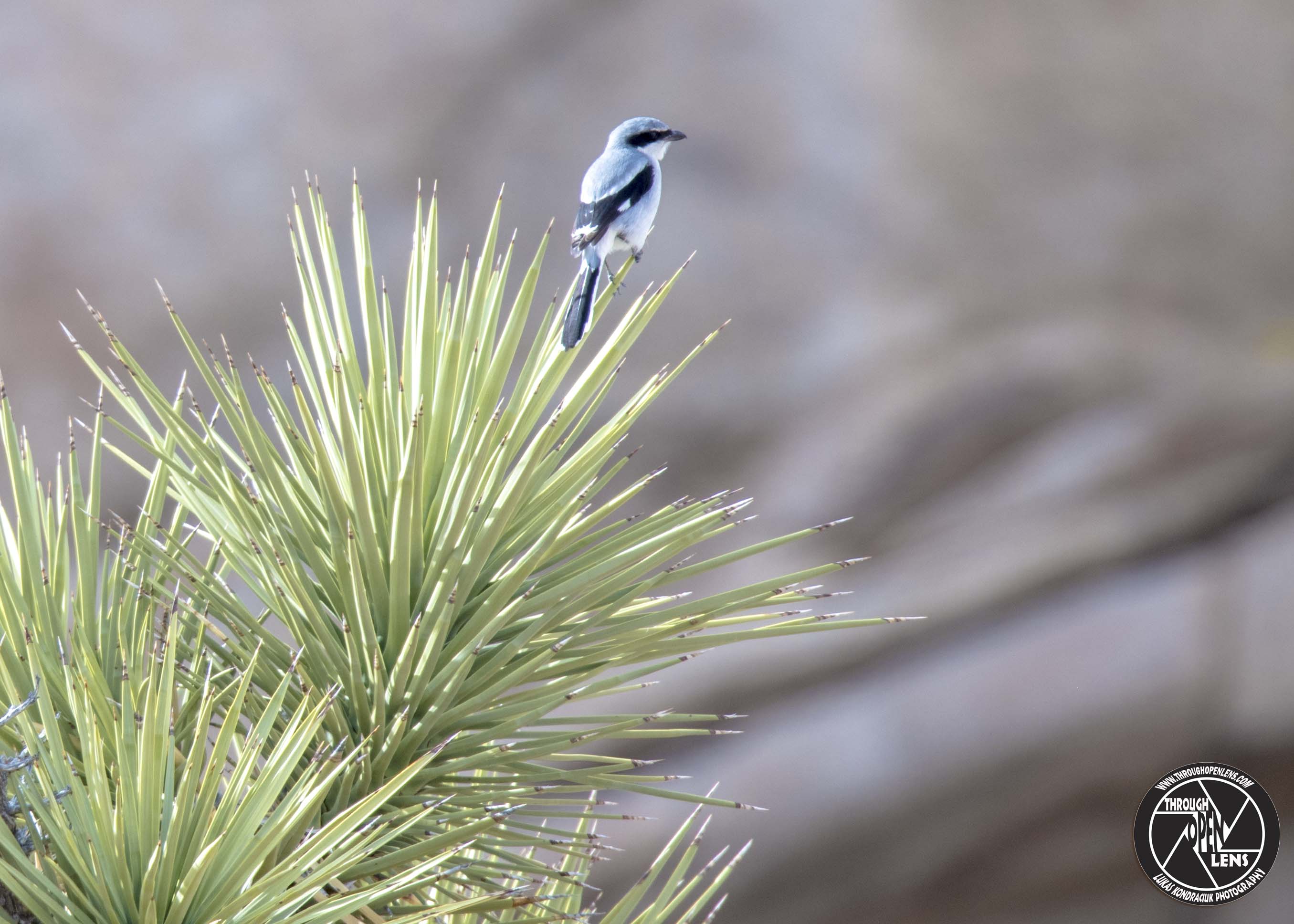
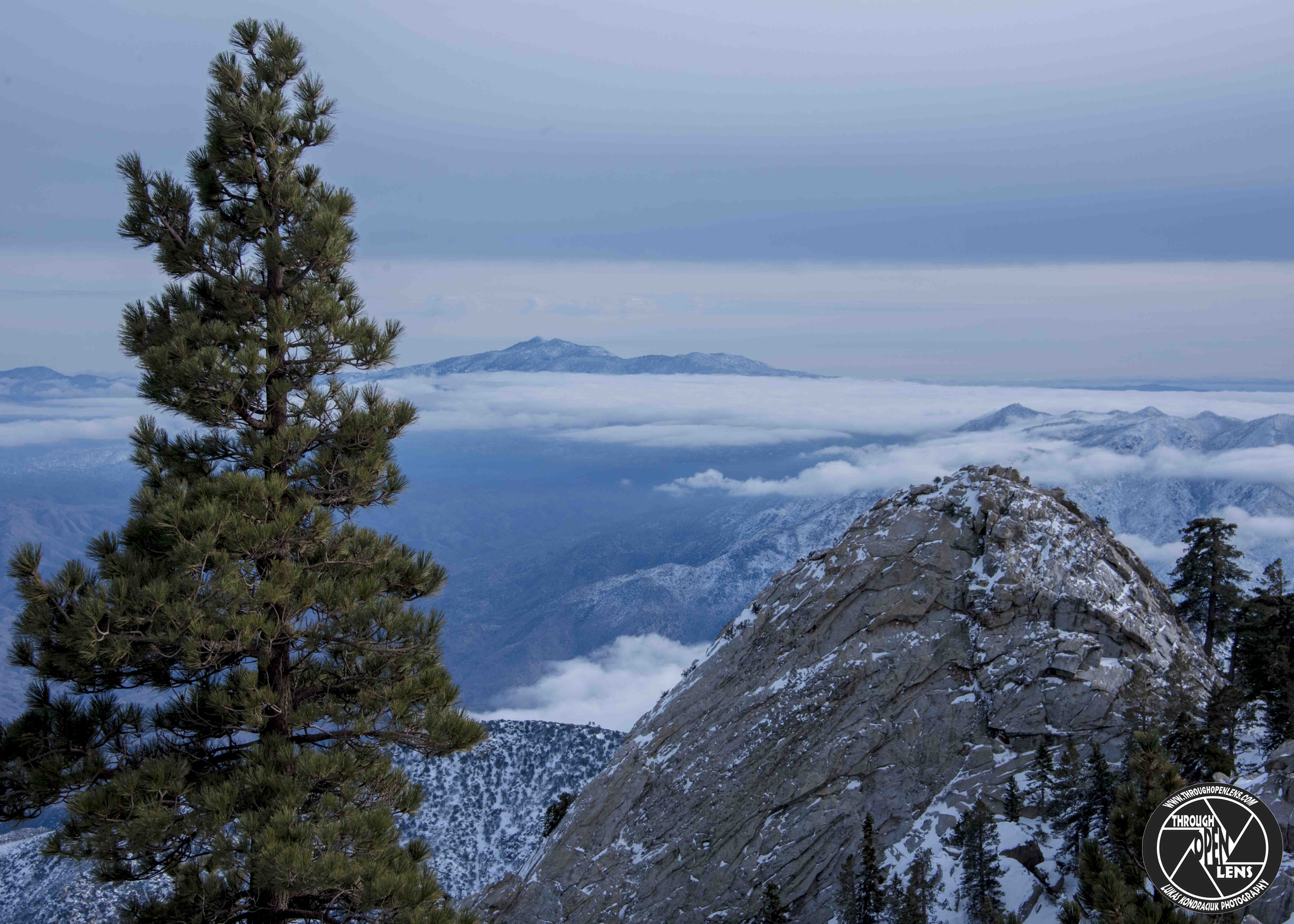
Joshua Tree National Park
Is it safe to swim in the ocean this week?
Sure, the sharks are all busy filming with Discovery.
Interesting Facts: The flatland between these hills is sparsely forested with Joshua trees. Together with the boulder piles and Skull Rock, the trees make the landscape otherworldly. Temperatures are most comfortable in the spring and fall, with an average high/low of 85 and 50 °F (29 and 10 °C), respectively. Winter brings cooler days, around 60 °F (16 °C), and freezing nights. Snows occur occasionally at higher elevations. Summers are hot, over 100 °F (38 °C) during the day and not cooling much below 75 °F (24 °C) until the early hours of the morning. ( https://en.wikipedia.org/wiki/Joshua_Tree_National_Park )